Randonnée A pied Reigate and Banstead - Mills & Pillboxes walk (SCC) - Photo

Tous les sentiers balisés d’Europe GUIDE+

© OpenStreetMap contributors
Longueur
Longueur
7,1 km
Altitude max
Altitude max
87 m
Dénivelé positif
Dénivelé positif
78 m
Km-Effort
Km-Effort  
8,2 km
Altitude min
Altitude min
45 m
Dénivelé négatif
Dénivelé négatif
80 m
Boucle
Boucle
Oui
Balise
Balise
Date de création :
2025-02-05 12:04:51.734
Dernière modification :
2025-02-05 12:04:51.734

(0 Avis)

A pied
A pied
1h51
Difficulté : Facile

Scannez ce code QR pour ouvrir la randonnée dans l'application SityTrail

Application GPS de randonnée GRATUITE

Logo SityTrail SityTrail

IGN / Instituts géographiques

Télécharger SityTrail sur l'App Store Télécharger SityTrail sur Google Play

Logo SityTrail SityTrail World

Le monde est à vous

Télécharger SityTrail sur l'App Store Télécharger SityTrail sur Google Play Télécharger SityTrail sur Huawei AppGallery

À propos

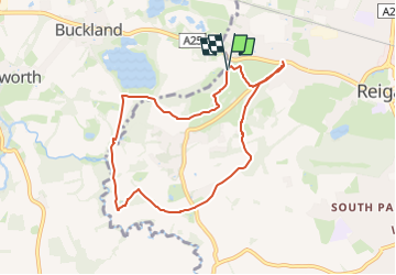
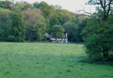
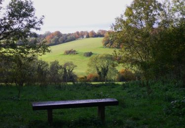
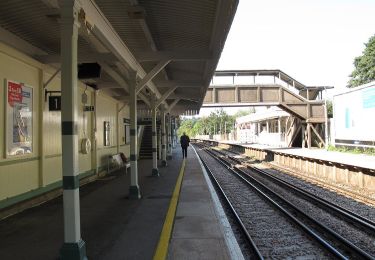
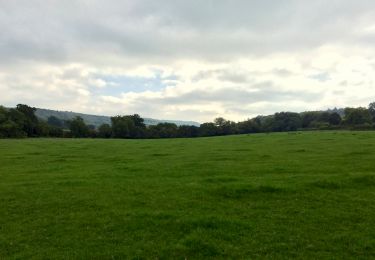
Randonnée A pied de 7,1 km à découvrir à Angleterre, Surrey, Reigate and Banstead. Cette randonnée est proposée par SityTrail - itinéraires balisés pédestres.

Description

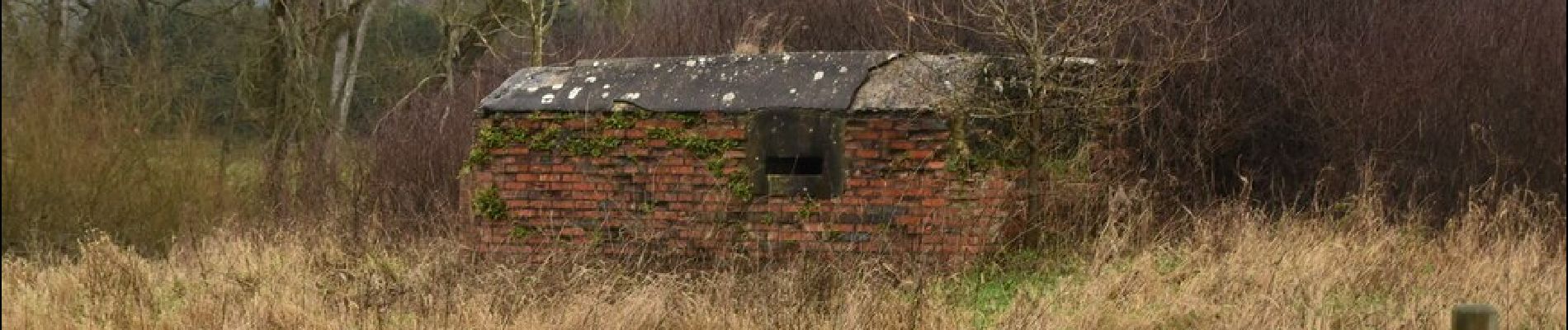
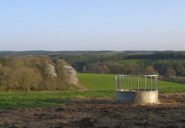
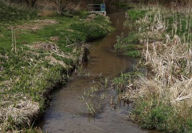
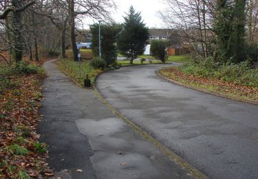
Mills & Pillboxes walk from http://www.surreycc.gov.uk

Profil altimétrique

Photos

Localisation

Pays :
Royaume-Uni
Région :
Angleterre
Département/Province :
Surrey
Commune :
Reigate and Banstead
Localité :
Unknown
Départ:(UTM)
693290 ; 5680128 (30U) N.

Randonnées à proximité

Randonnée A pied Tandridge - Woldingham walk (SCC) - Photo
A pied
GUIDE+

A pied

Facile
Tandridge, Angleterre, Surrey, Royaume-Uni
4,9 km | 6,3 km-effort
1h 26min
Oui
Randonnée A pied Guildford - Tillingbourne at work (short) (SCC) - Photo
A pied
GUIDE+

A pied

Facile
Guildford, Angleterre, Surrey, Royaume-Uni
6,9 km | 8,5 km-effort
1h 55min
Oui
Randonnée A pied Guildford - Tillingbourne at work (long) (SCC) - Photo
A pied
GUIDE+

A pied

Facile
Guildford, Angleterre, Surrey, Royaume-Uni
10,9 km | 14,2 km-effort
3h 13min
Oui
Randonnée A pied Mole Valley - Ranmore (SCC) - Photo
A pied
GUIDE+

A pied

Facile
Mole Valley, Angleterre, Surrey, Royaume-Uni
9,7 km | 12,9 km-effort
2h 56min
Oui
Randonnée A pied Mole Valley - Prospects of Polesden (SCC) - Photo
A pied
GUIDE+

A pied

Facile
Mole Valley, Angleterre, Surrey, Royaume-Uni
7,9 km | 10,5 km-effort
2h 22min
Oui
Randonnée A pied Tandridge - Over the Downs to Oxted Mill walk (SCC) - Photo
A pied
GUIDE+

A pied

Facile
Tandridge, Angleterre, Surrey, Royaume-Uni
8,4 km | 10,7 km-effort
2h 26min
Non
Randonnée A pied Mole Valley - Norbury Park Off Road Cycle & Walk (SCC) - Photo
A pied
GUIDE+

A pied

Facile
Mole Valley, Angleterre, Surrey, Royaume-Uni
4 km | 5 km-effort
1h 8min
Non
Randonnée A pied Mole Valley - Norbury Park walk (SCC) - Photo
A pied
GUIDE+

A pied

Facile
Mole Valley, Angleterre, Surrey, Royaume-Uni
3,6 km | 5,1 km-effort
1h 9min
Oui
Randonnée A pied Elmbridge - Locks and Levels (SCC) - Photo
A pied
GUIDE+

A pied

Facile
Elmbridge, Angleterre, Surrey, Royaume-Uni
7,4 km | 8 km-effort
1h 49min
Oui


Fermer
Mes abonnements